



Product Overview
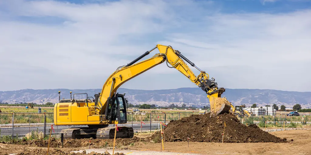
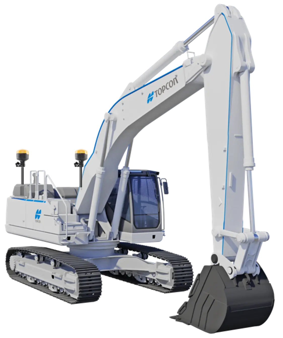
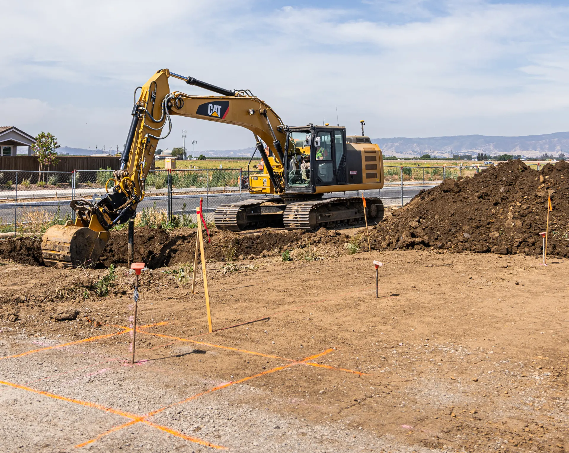
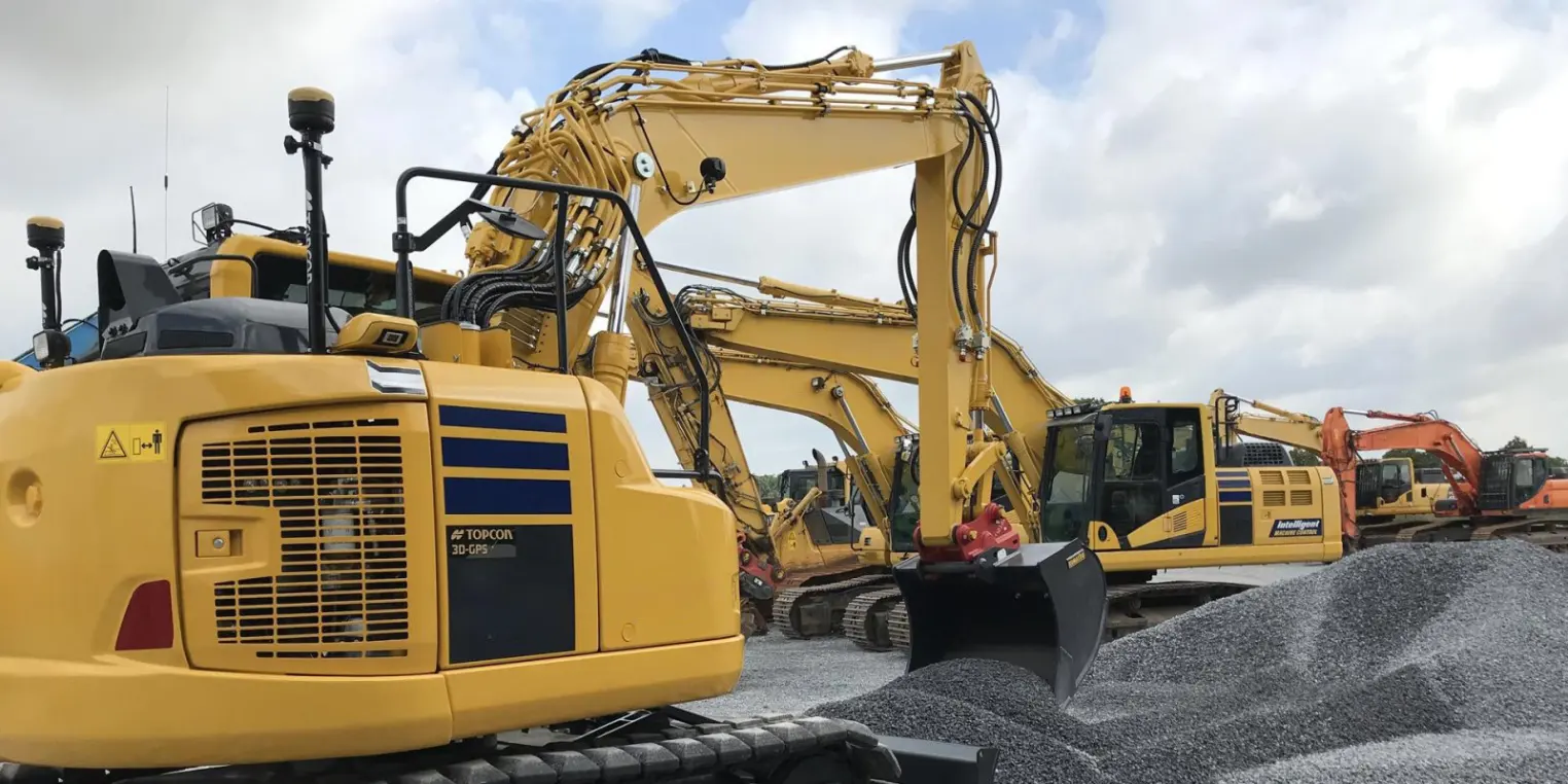
Designed to enhance excavation productivity and accuracy by providing real-time bucket positioning relative to a digital design. Part of the Topcon MC-X platform, it allows operators to switch between 2D guidance, 3D guidance, and fully automated modes depending on project needs.
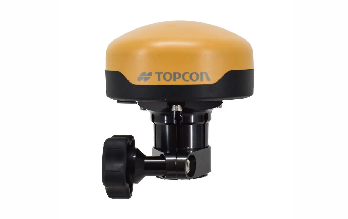
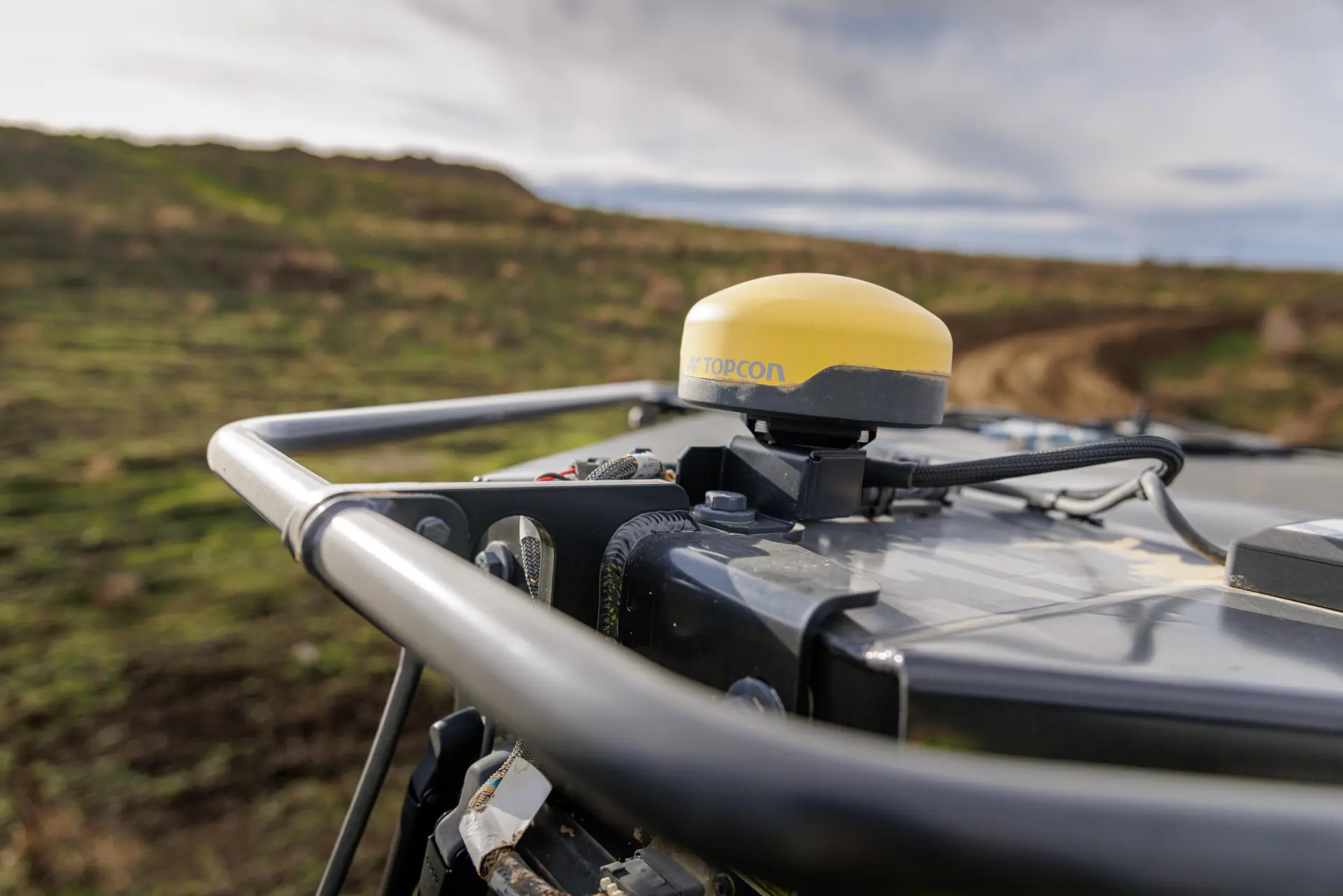
The Topcon GR-i3F is a high-precision integrated GNSS receiver designed for machine control, surveying, and construction applications. It supports multiple satellite constellations, including GPS, GLONASS, QZSS, and SBAS, to provide accurate, reliable positioning data
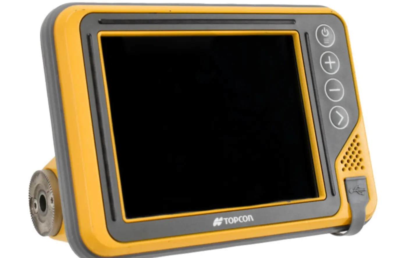
The bright and robust GX-Series delivers a brand-new experience for modern machine control.
The 3D-MC software on the GX-Series provides real-time position and project design information, with integrated grade indicator LEDs.
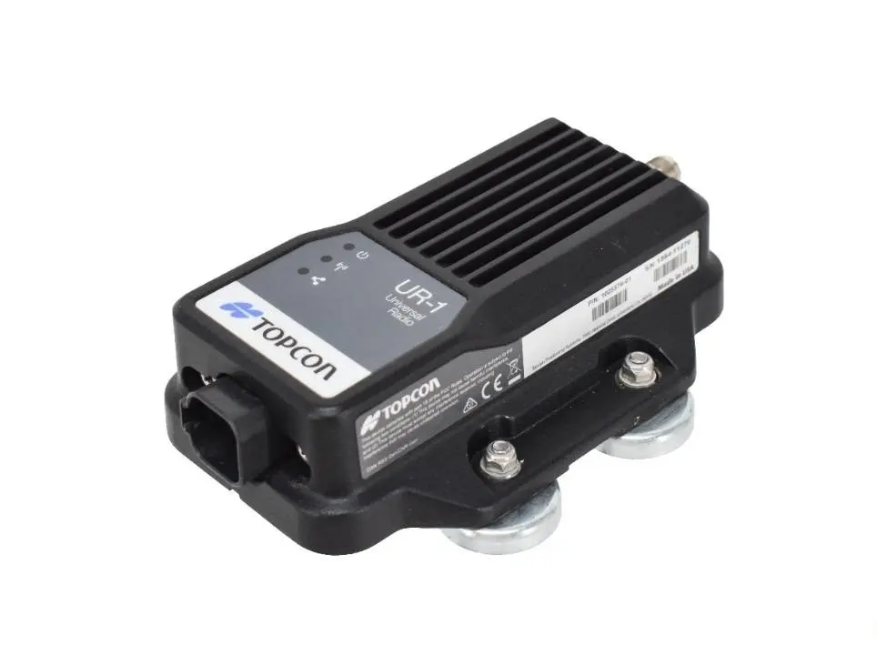
The UR-1 radio can communicate via UHF/915 SS with local base stations. With the 4G-modem SL-25, network corrections can be used.
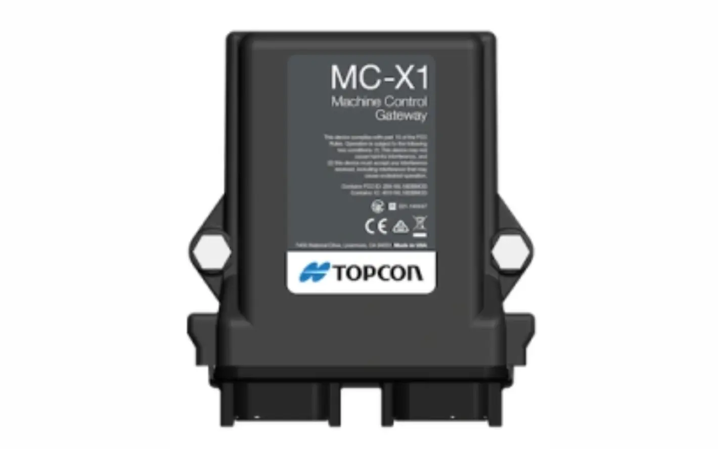
MC-X1 control unit is the heart of machine control. Through data processing from different sensors (positioning data, IMU data), the MC-X1 is capable of everything from simple slope control and 2D to fully automatic 3D control.
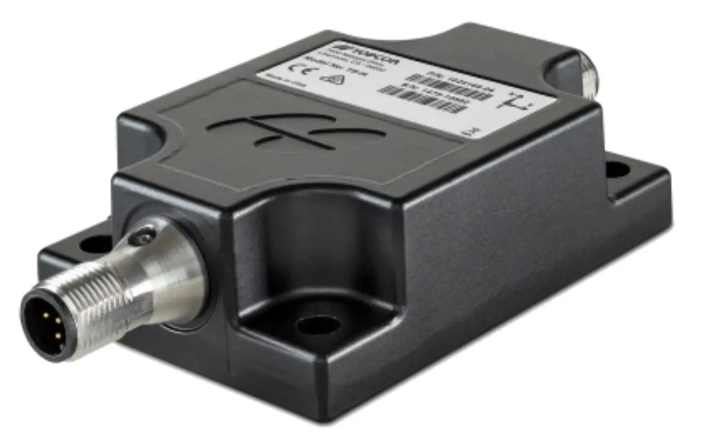
The MC-Max excavator system utilizes
TS-i4 sensors. TS-i4 sensors are IMUs that are not affected when starting, stopping, or turning.
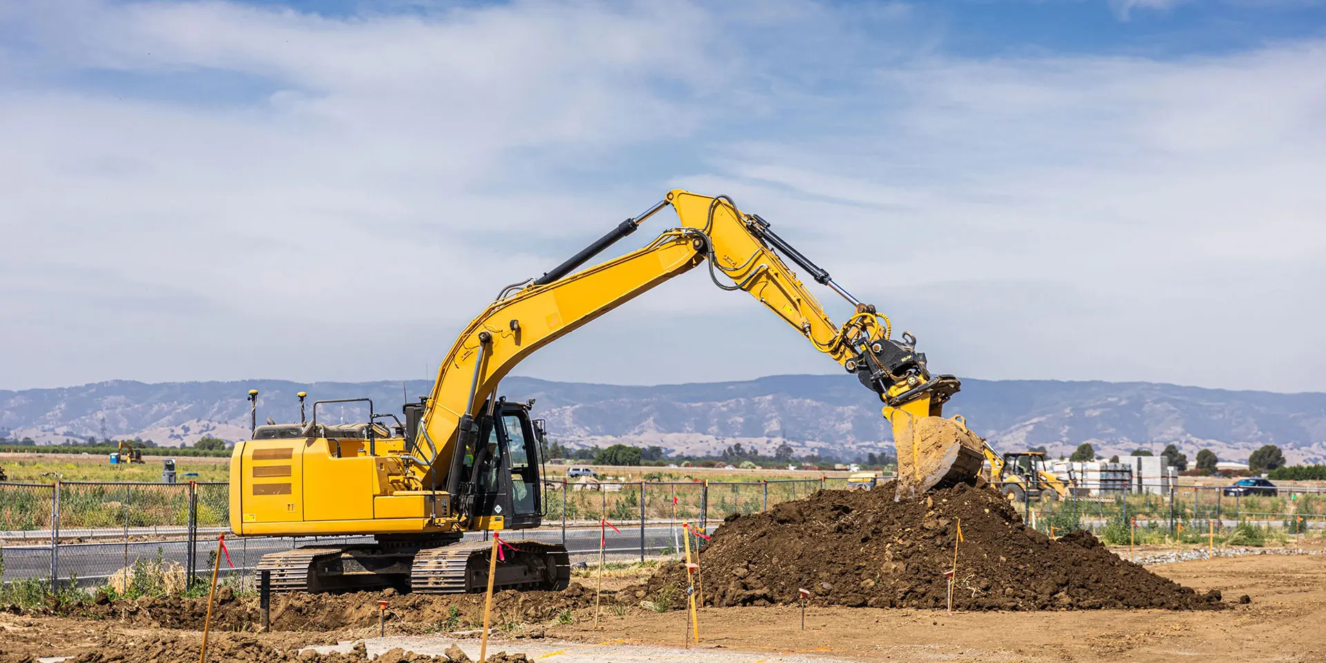
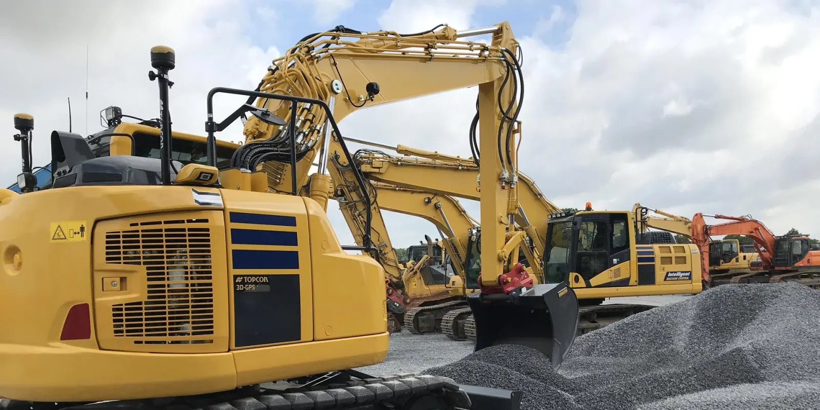
Transform your excavator into a multi-functional tool with the MC-Max Excavator, enhancing its capabilities as a surveyor, operator, and grade checker. Use the bucket for topo shots, switch to automatic control for precise designs, and keep human grade checkers safely out of trenches. MC-Max ensures accurate and validated work with less rework, modular components that grow with your project needs, and the ability to operate the bucket using multiple display and elevation reference options. With real-time connectivity through Sitelink3D and automatic tilt/rotate functions, MC-Max delivers unmatched control. Whether working in 2D or 3D modes, it provides simple depth guidance for rough grading or precise 3D automatic operation for perfect grading and positioning. Designed for any environment — from highway trenching with GNSS to underground excavation requiring robotic total stations — MC-Max offers the flexibility needed to match every scenario.
Control modes
2D and 3DSatellite constellations
2 to 4Display options
GX-55 or GX-75Related Equipment
Key Specs
Key Specs