
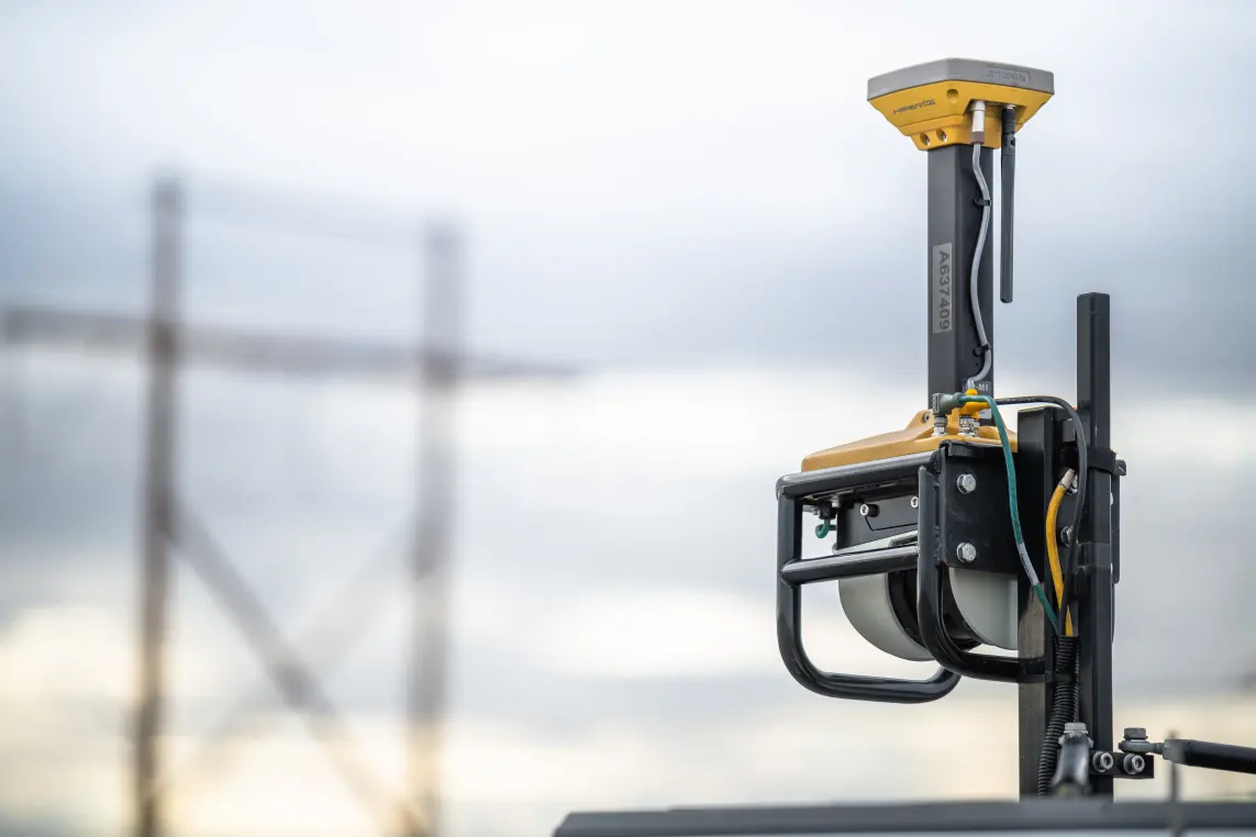
Road Surface Scanner

Asphalt Paving

downward-facing laser scanner
Scanner orientation
all major satellite constellations
Satellite support
3D point data
Data output

Product Overview

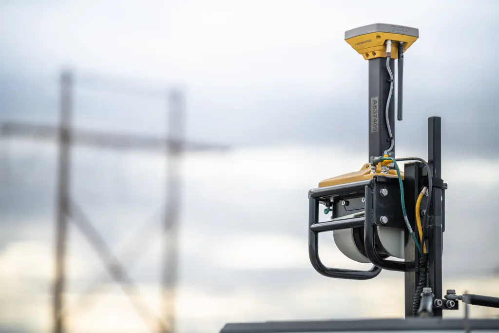
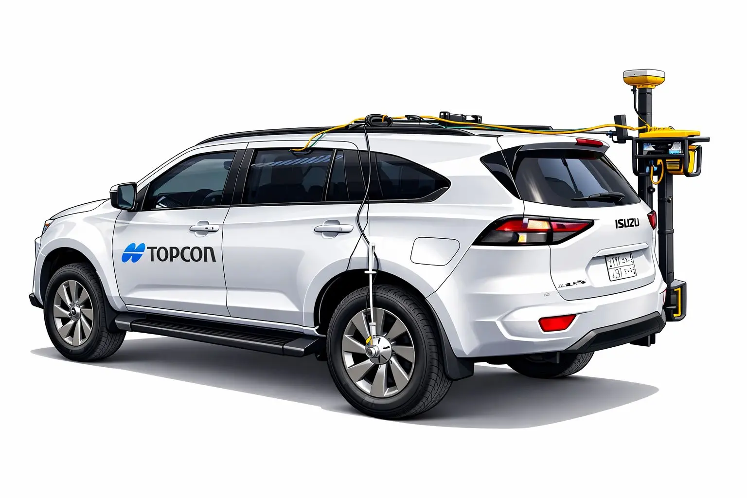
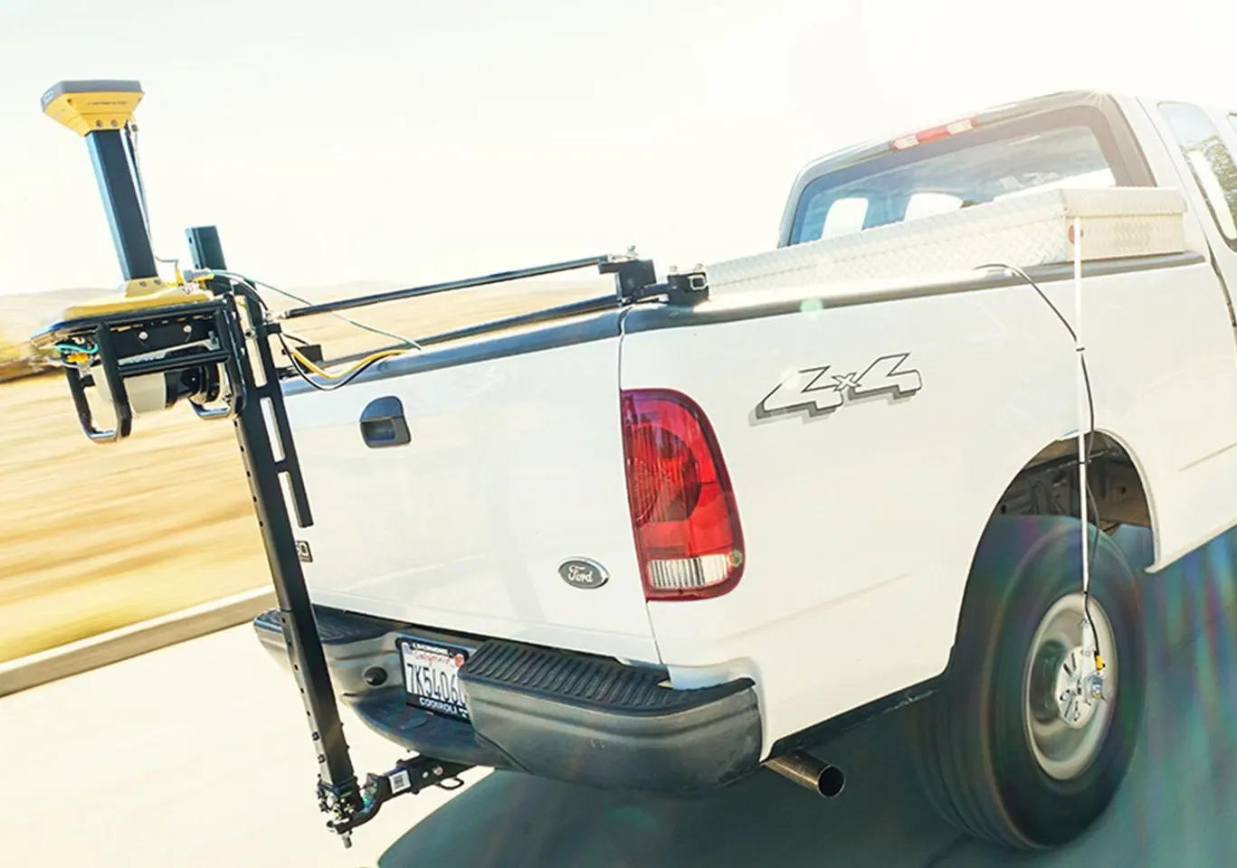
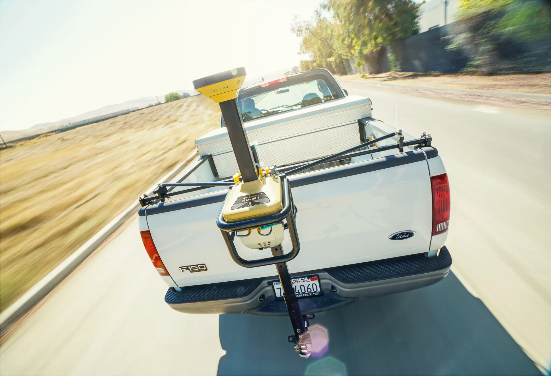
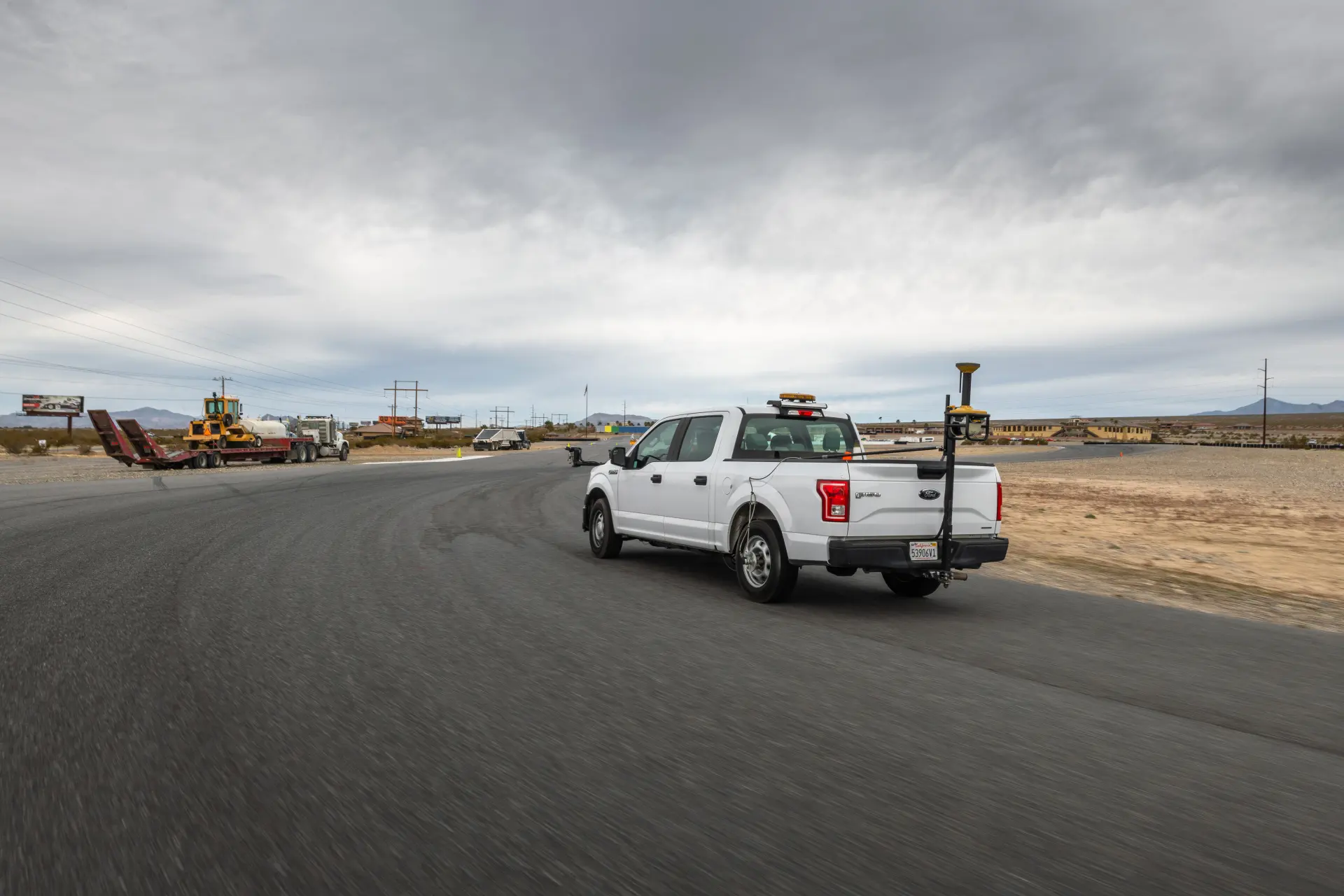
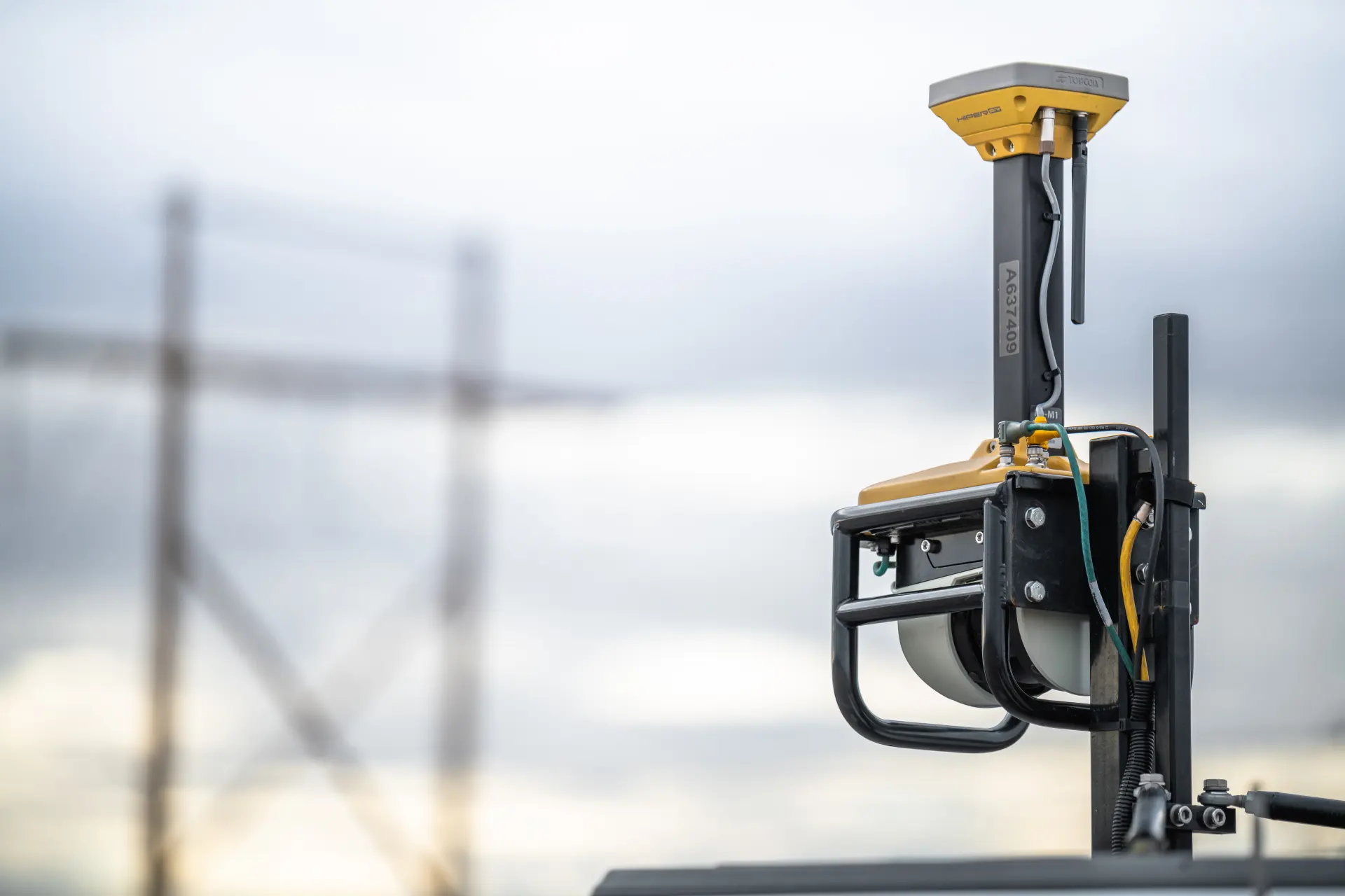
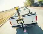
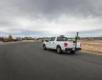
The Topcon RD-M2 is a vehicle-mounted, downward-facing mobile LiDAR scanner designed for high-speed road surface scanning, resurfacing, and surveying. It is a key component of the Topcon SmoothRide solution, allowing crews to collect accurate 3D point data of road surfaces without requiring lane closures.
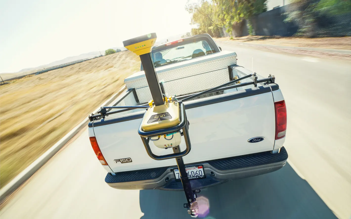

RD M2 Scanner

RD M2 Scanner

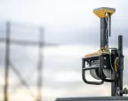
The Topcon RD-M2 is a high-speed, vehicle-mounted mobile LiDAR scanner designed specifically for road resurfacing and construction projects.
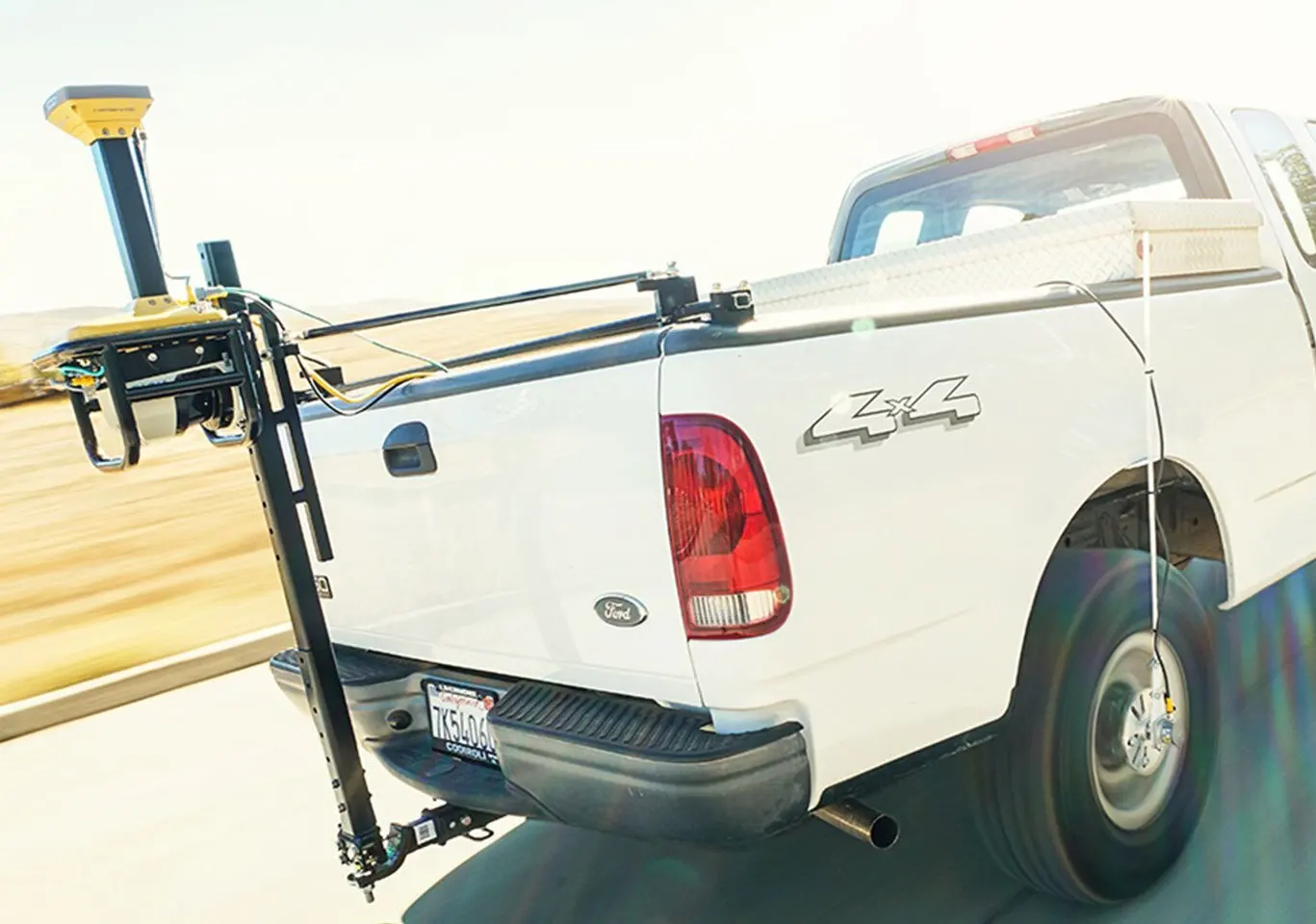
Wheel Encoder

Wheel Encoder

A Topcon wheel encoder (also commonly referred to as a wheel angle sensor or odometer) is a precision hardware component used to track the physical rotation and position of a vehicle’s wheels. It is a critical element in Topcon’s advanced positioning and automated steering systems for agriculture and mobile mapping.
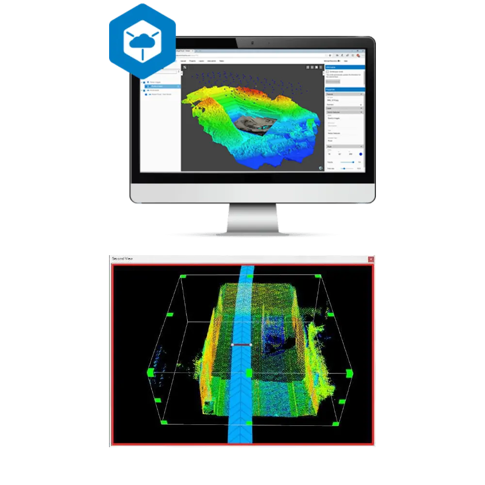
Topcon Collage Office

Topcon Collage Office

Topcon Collage Office is a software solution designed to combine, visualize, and process 3D point cloud data from various sources like Lidar scanners, mobile mapping, CAD, and BIM. It allows for editing, data density adjustment, and exporting to industry-standard formats, and is often used alongside

Description
Specifications
Downloads
Contact Us

The RD-M2 road scanner delivers fast, precise surface data for resurfacing and milling projects. It captures existing road conditions in detail, helping estimate materials accurately and ensuring contractors finish on time and within budget. With high-speed data collection, millions of safe measurement points, and compatibility with all major satellite constellations, it enables smooth workflows for paving and milling. Its 3D point data integrates seamlessly with Topcon design software, providing millimeter-level accuracy and full flexibility for customized road resurfacing designs.


  • Enhanced GNSS Tracking: Unlike the previous RD-M1 model, the RD-M2 features a new GNSS receiver capable of full constellation tracking (GPS, GLONASS, Galileo, and BeiDou). This allows it to track 30–35 satellites simultaneously, significantly improving accuracy and reliability on the job site.
  • High-Speed Data Collection: The scanner is built to capture precise road surface conditions while driving at traffic speeds, eliminating the need for costly and dangerous lane closures.
  • Precision Scanning: It features a downward-facing LiDAR sensor that can collect millions of points at scan rates of up to 100 times per second.
  • Integrated Design: The unit includes an integrated Inertial Measurement Unit (IMU) and GNSS antenna for highly accurate 3D point cloud generation without requiring external sensors.

Primary Applications

  • Road Resurfacing: Identifying existing surface conditions to calculate exact material needs for milling and paving.
  • Bridge Deck Evaluation: Safely capturing data for complex structures like bridge approaches.
  • Construction Bidding: Providing high-resolution “ground truth” data to create more accurate and competitive project bids.
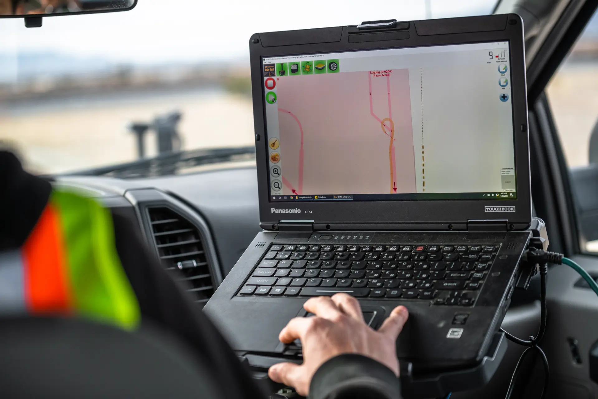
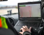
The RD-M2’s data is processed through the Topcon Office Suite, where users can create custom road designs or align scans to local coordinate systems with millimeter-level precision.

Road Surface Scanner Key Specifications

Scanner orientation

downward-facing laser scanner

Satellite support

all major satellite constellations

Data output

3D point data

Request a Quote

By entering my name, telephone number, e-mail address and home address and by clicking the "Submit" button, I agree that the General Trading & Equipment CJSC may collect, process, use and electronically store said personal data in accordance with the existing privacy policy until the ongoing communication with me has stopped definitively. My consent is given freely and I can revoke it at any time with effect for the future. Personal data will not be passed on to third parties.